KNUST Research Atlas is currently in active Beta. Report bugs or suggest features to help us improve!
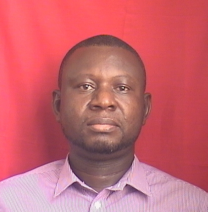
Samuel Osah
The researcher has made significant contributions across multiple research areas. Their work focuses on enhancing positioning accuracy in physical sciences by developing deep learning models to predict IGS (Intelligence Source System) signals and evaluating the impact of interference effects using GNSS observations. In inertial sensors, they homogenized coordinates through active CORS data in Ghana. For hydrology, their studies involve modeling water budgets using GIS-based remote sensing data. Additionally, they ensured high-quality data from continuously operating reference stations to improve positioning applications globally.
Data Quality and Management
GNSS positioning and interference
Hydrology and Watershed Management Studies
Inertial Sensor and Navigation
GIS-Based Water Budget Estimation in the Pra Basin using Remote Sensing Data
Open AccessAssessing the Quality of Data from Continuously Operating Reference Stations in Ghana
Homogenizing coordinates through the use of the active CORS in Ghana
Open AccessComparative evaluation and analysis of different tropospheric delay models in Ghana
Open AccessCongruence through repeatability of position solutions by different GNSS survey techniques
Open AccessRegression models for predicting daily <scp>IGS</scp> zenith tropospheric delays in West Africa: Implication for <scp>GNSS</scp> meteorology and positioning applications
Open AccessDeep learning model for predicting daily IGS zenith tropospheric delays in West Africa using TensorFlow and Keras
Open AccessEvaluation of Zenith Tropospheric Delay Derived from Ray-Traced VMF3 Product over the West African Region Using GNSS Observations
Open AccessComparative analysis of blind tropospheric correction models in Ghana
Open AccessDepartment of Geomatic Engineering
Kwame Nkrumah University of Science and Technology