KNUST Research Atlas is currently in active Beta. Report bugs or suggest features to help us improve!
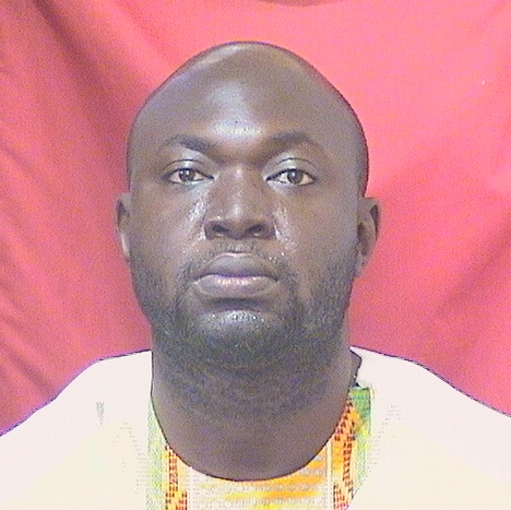
Titus Tienaah
The researcher has made significant contributions across multiple research domains at the intersection of technology, geospatial sciences, and social sciences. Their work combines innovative neural network applications in physical sciences with advanced methods in geographic information systems studies and infrastructure maintenance. Techniques such as deep convolutional neural networks for vehicle recognition and spatial data simplification algorithms have broadened their impact beyond traditional fields. In the realm of flood risk assessment, they employ sophisticated hydrological models to evaluate landscape dynamics. Their interdisciplinary approach also extends to social sciences, utilizing map projection distortions in cartography and geospatial web tools to enhance analytical techniques. Recent work on data visualization techniques further underscores their commitment to transforming complex datasets into actionable insights across diverse fields.
Faculty Biography
Dr. Titus Tienaah a lecturer at the Geomatic Engineering Department, Kwame Nkrumah University of Science and Technology (KNUST). His research focus are Geographic Information Systems (GIS), spatial data structures, spatial big data analytics, computer vision, and artificial intelligence. Before joining KNUST, he worked as a geospatial software engineer at Resson Inc. (Fredericton, New Brunswick), a predictive data analytics company that combines computer vision, machine learning, and big data analytics to provide farmers with actionable insights using their field imagery collected from drones and ground-based systems. At Reason, he developed algorithms for tracking plant growth, plant count, plant spacing, pest detection, and localization of anomalies using georeferenced raster datasets.He also worked as a professional consultant for developing training modules for Natural Resources Canada’s Centre for Mapping and Earth Observation (CCMEO) in collaboration with the University of Calgary. The training modules include learning the Python programming language, using Python for geospatial data processing, using Python to perform spectral analysis, and parallel processing using Cloud Optimized GeoTIFFs (COG) from a SpatioTemporal Asset Catalog (STAC). Training modules developed will serve as training resources for the staff of CCMEO and technical personnel of some first nation communities in Canada.Dr. Tienaah has received Geodesy and Geomatics Engineering degrees from the University of New Brunswick (Ph.D., MScE) and a Geodetic Engineering degree from KNUST (BSc). He also has a diploma in university teaching from the University of New Brunswick.
Advanced Neural Network Applications
Data Visualization and Analytics
Flood Risk Assessment and Management
Geographic Information Systems Studies
Hermeneutics and Narrative Identity
Historical Geography and Cartography
Infrastructure Maintenance and Monitoring
Automated Vehicle Recognition with Deep Convolutional Neural Networks
DESIGN AND IMPLEMENTATION OF A COASTAL COLLABORATIVE GIS TO SUPPORT SEA LEVEL RISE AND STORM SURGE ADAPTATION STRATEGIES
Contextual Douglas-Peucker SIMPLIFICATION
Examining Map Projection Distortions using Geospatial Web Tools
Open Access“Troy is ours – How on earth could Clytaemnestra know so fast?"
Open AccessFunctional Evaluation of Pavement Condition Using a Complete Vision System
Flood Progression Modelling and Impact Analysis
Open AccessDepartment of Geomatic Engineering
Kwame Nkrumah University of Science and Technology