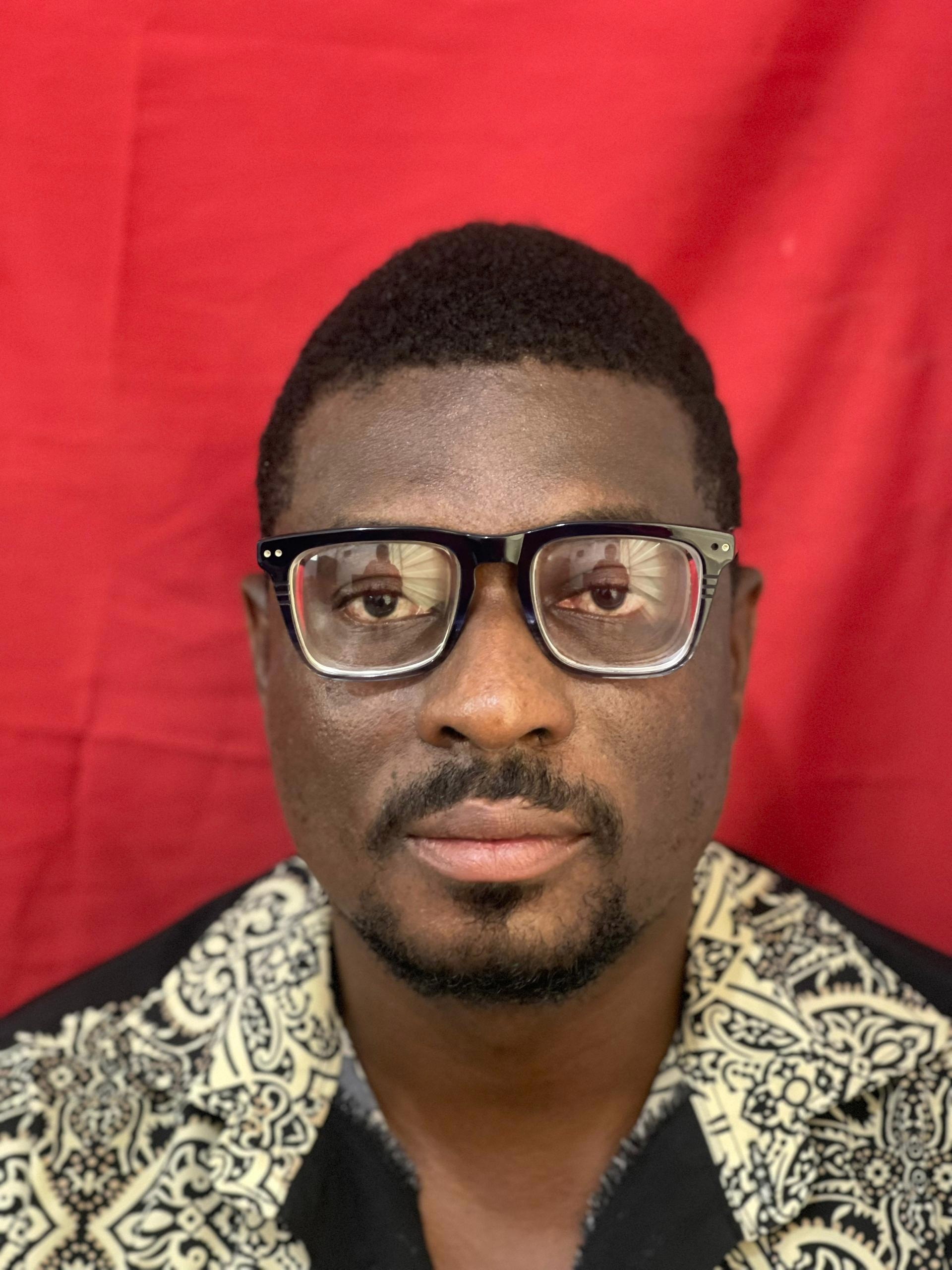
This researcher employs a comprehensive approach combining geophysical methods such as aeromagnetic and radiometric datasets to map gold mineralization zones in the Kyerano and Sefwi greenstone belts of Ghana. Their work extends into geological mapping, analyzing structures in key areas like the Konongo gold belt for potential deposits using airborne magnetic and radiometric data. The researcher further investigates groundwater implications through remote sensing applications, integrating these methods to advance understanding of mineralization patterns and water resource management strategies in Ghana.
Faculty Biography
Benjamin Boadi received a B.Sc. and an M.Sc. in applied geophysics from the Kwame Nkrumah University of Science and Technology and a PhD in geophysics from the Academy of Scientific and Innovative Research (AcSIR) hosted by CSIR – National Geophysical Research Institute (NGRI), India. I was awarded the Council of Scientific and Industrial Research (CSIR), India and the World Academy of Sciences (TWAS) Postgraduate Fellowship to pursue a PhD research programme in India. I have worked in the gold mining industry as an exploration geophysicist before becoming a researcher at the Kwame Nkrumah University of Science and Technology, where I currently serve as a lecturer. I am a proven team player with organizational and leadership qualities, ready for exercise in the educational and research field, applying knowledge to maximize value for clients while experiencing adventure in unusual locations. Throughout my academic years, I have received training from Ghana, Nigeria and South Africa as an instructor, field assistant, and project manager conducting studies and literature research.
Geochemistry and Geologic Mapping
Geophysical and Geoelectrical Methods
Groundwater and Watershed Analysis
Department of Physics
Kwame Nkrumah University of Science and Technology