KNUST Research Atlas is currently in active Beta. Report bugs or suggest features to help us improve!
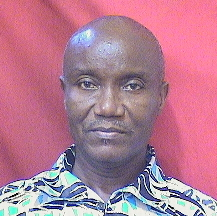
Reginald Mensah Noye
This researcher's research focuses on advancing geophysical methodologies across multiple domains, particularly leveraging imaging techniques such as electrical resistivity and electromagnetic methods for detailed structural analysis and mineral exploration. Their work includes integrating mapping and imaging approaches to study groundwater systems, geological structures, and mineral deposits using advanced datasets from diverse fields like aeromagnetism, electromagnetics, and radiometry.
Faculty Biography
Mr. Reginald Mensah Noye had his first degree BSc. Physics in 1992 from the University of Science and Technology (UST), Kumasi, Ghana. He later studied Geophysics and was awarded MSc Geophysics or Exploration Geophysics degree from the Kwame Nkrumah University of Science and Technology (KNUST), Kumasi in 2004. Then in 2006 he was appointed a Lecturer in the Department of Physics. In 2008 he was appointed as the Assistant Examination Officer for the Department of Physics. Then in 2009, by dint of hardwork, dedication and commitment to duty he was appointed the Examinations Officer for the Department of Physics, Kwame Nkrumah University of Science and Technology, Kumasi. His research interests include geophysical exploration for minerals, groundwater and physical properties of rocks associated with groundwater. My research focus has been the application of geophysical methods or tools in mapping subsurface structures in areas such asHe is a member of Geophysics Research Group in the Department of Physics and active member of the Ghana Science Association (GSA).
Geochemistry and Geologic Mapping
Geophysical and Geoelectrical Methods
Geophysical Methods and Applications
Mapping groundwater potential within the Owabi catchment with weighted overlay analysis to support climate smart agriculture in the Ashanti region of Ghana
Open AccessElectrical Resistivity And Induced Polarization Imaging For Refuse Dump Site
Open Access2D Electrical Resistivity Imaging for Delineation of Crystalline Basement Aquifer in Northern Ghana
Open AccessIntegrated Geophysical and Geological Mapping of the Lithological and Geological Structures at a Proposed Generator Site
Open AccessInterpretation of Geological Structures Hosting Potential Gold Deposits in the Konongo Gold Mine Using Airborne Magnetic, Electromagnetic and Radiometric Datasets
Open AccessProspecting for Groundwater Using the Continuous Vertical Electrical Sounding Method
Open AccessLocating Aquifers in Crystalline Granitic Rock Using Electrical Resistivity Technique in the Sissala East District of Ghana
Open AccessDelineation of graves using electrical resistivity tomography
Geophysical Interpretation of Possible Gold Mineralization Zones in Kyerano, South-Western Ghana Using Aeromagnetic and Radiometric Datasets
Open AccessElectromagnetic Method and Vertical Electrical Sounding for Groundwater Potential Assessment of Kintampo North Municipality of Ghana
Open AccessDepartment of Physics
Kwame Nkrumah University of Science and Technology